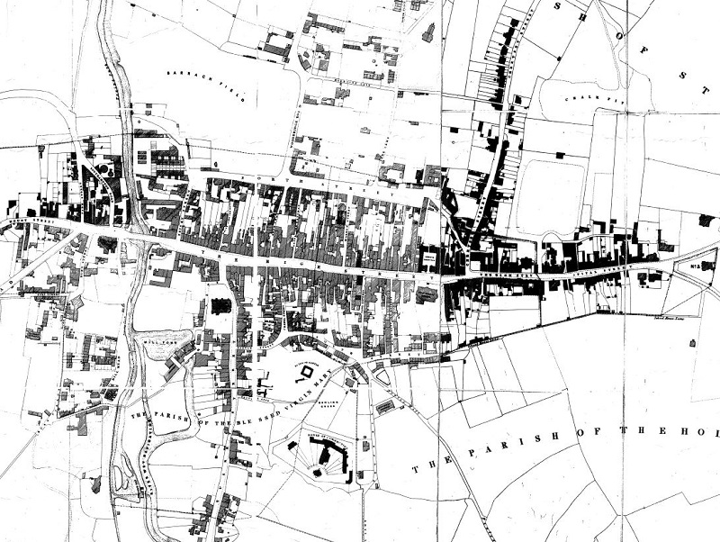
This map by Charles Witherby offers a glimpse of Guildford just before the arrival of the railways in 1845. In this article I have identified buildings that are still surviving. The map shows a Guildford that had changed very little since the 18th century map by Samuel Richardson in 1748. Indeed it had hardly changed in centuries but in the decades to come it would mushroom in size. On the edges of the town a few buildings had been built as ribbon development. Amazingly, many of these still survive amongst later Victorian developments. Town Centre

Guildford Town Centre
The centre of the town still occupied the medieval foot print. North Street (which was still called the Town Ditch in 1768) still formed the north boundary of physical development. To the north was a patchwork of buildings which have now all gone. Chertsey Street
Guildford North
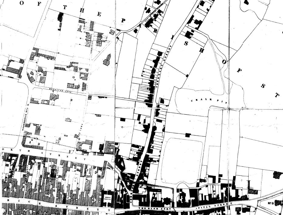
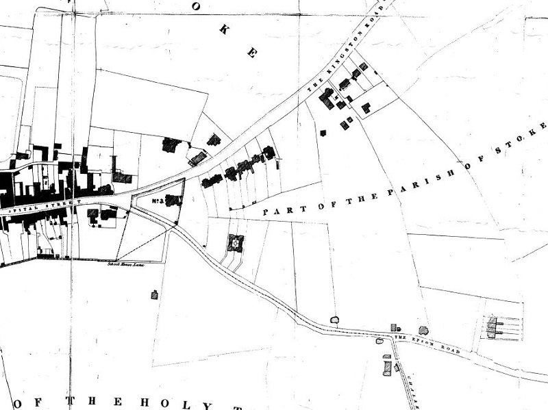
Guildford North-East
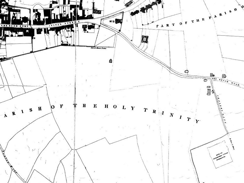
Guildford East
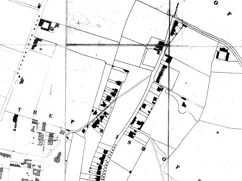
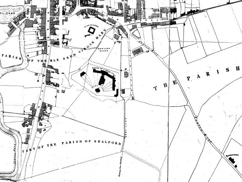
Guildford South-East
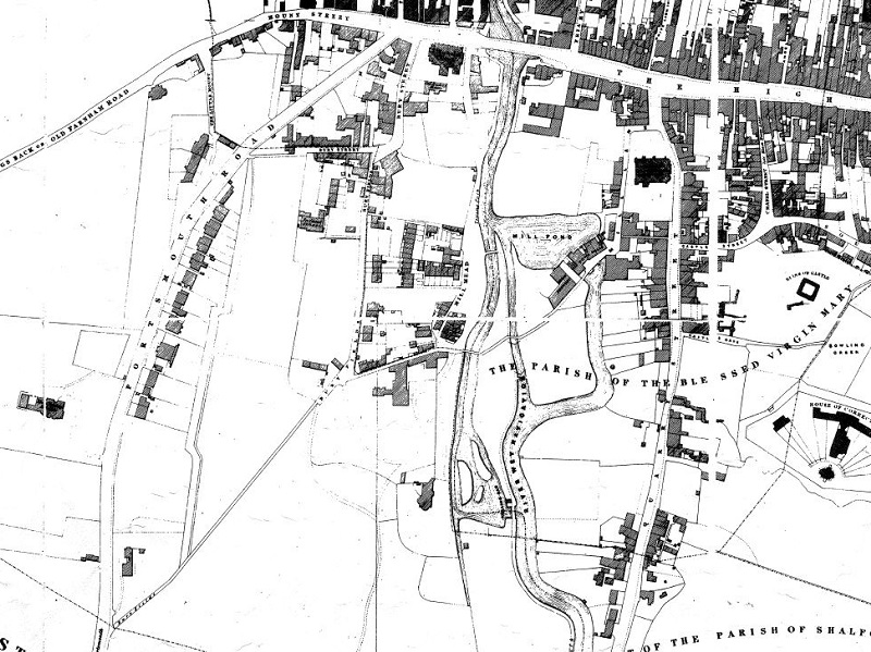
Guildford South
Guildford South-West
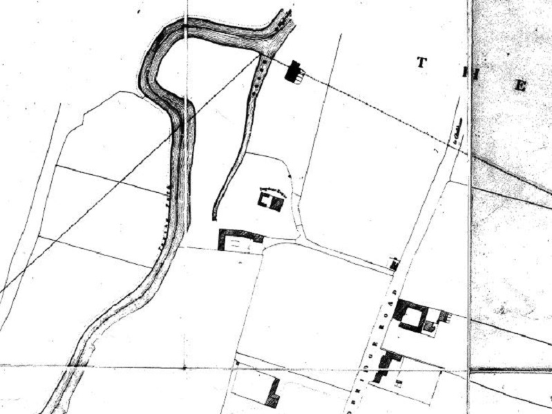
Guildford North-West