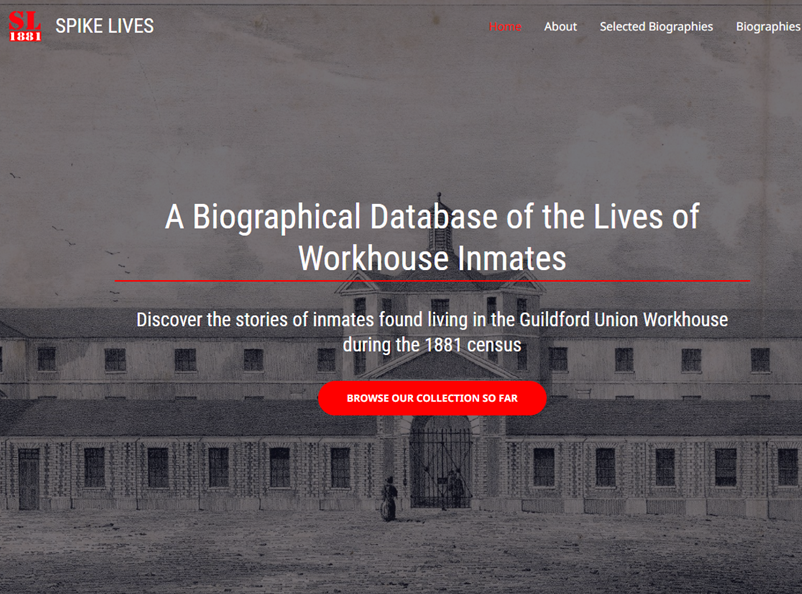
Take a Look at the Lives of People Who Were in the Guildford Union Workhouse in 1881 Published on: 1 Nov, 2023Updated on: 1 Nov, 2023 By David Rose The Spike is a fascinating heritage attraction off Warren Road, Guildford. It’s a time capsule that’s a surviving part of the Guildford Union Workhouse where vagrants could get…
Category: MapsStats
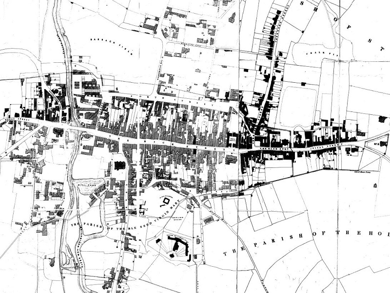
Guildford in 1827
This map by Charles Witherby offers a glimpse of Guildford just before the arrival of the railways in 1845. In this article I have identified buildings that are still surviving. The map shows a Guildford that had changed very little since the 18th century map by Samuel Richardson in 1748. Indeed it had hardly changed…
Historic Statistics
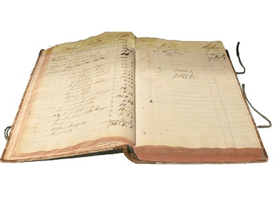
Census Returns – National Archives
Old Maps
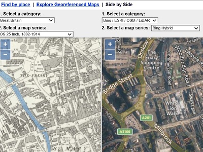
The National Libraries of Scotland has scanned most of the UK Ordnace Survey Maps from the earliest ones available, Here is a link to the Guildford Maps There is also a useful tool that displays a modern satellite view against an old map making it much easier to locate modern streets on old maps from…